Site, landscape and topographic surveys
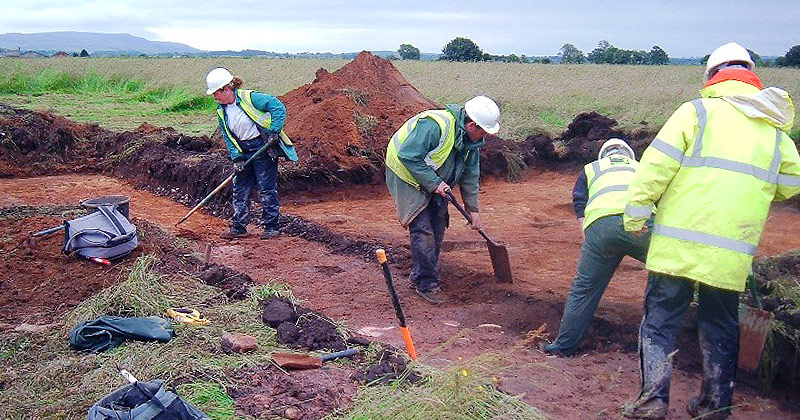
Wardell Armstrong Archaeology specialises in producing site and landscape surveys in addition to topographic surveys which can be used for a variety of purposes including planning applications, land management, environmental assessment and grant applications. The team has experience in a wide range of survey techniques and also has an in-house geophysical team.
Topographic land surveys »
Wardell Armstrong Archaeology is equipped to undertake detailed metric land surveys and topographic surveys to provide accurate plans of boundaries, site detail and topography.
This can be especially useful to clients who deal in property development or regeneration.
Historic landscape surveys »
Wardell Armstrong Archaeology offers a high quality and competitive landscape survey service and is able to work on both large and small-scale projects. We are able to identify above ground archaeological constraints and to advise our clients on options for their avoidance or recording.
This is particularly useful for utility companies when extensive cable/pipeline routes are likely to encounter above ground remains.
Historic building surveys »
Wardell Armstrong Archaeology has its own team of building recording specialists and can provide various levels of recording from basis photographic through to detailed surveys of the exteriors and interiors of buildings.
Geophysical survey »
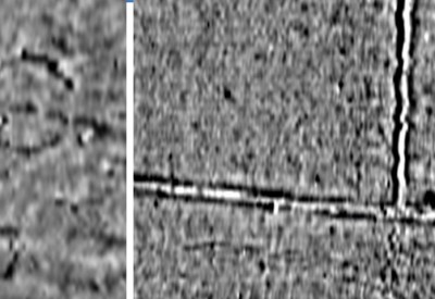
Wardell Armstrong Archaeology provides mobile, rapid and cost-effective geophysical services throughout the UK and uses a variety of techniques to detect archaeological features such as ditches, pits, kilns and walls but also modern services, metallic structures, and building foundations.