Accurate and adaptable site mapping
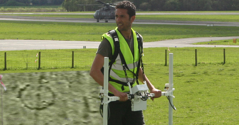
Wardell Armstrong Archaeology is equipped to undertake detailed metric topographic surveys to provide accurate plans of boundaries, site detail and topography.
The level of detail provided can be tailored to a customer’s particular needs.
Land survey solutions are offered for all aspects of urban and rural environments, using GIS and CAD integration.
Topographic land surveys services include:
- Development and management, including plans for extensions and conversions, urban design and planning, property development and conservation appraisal
- Agriculture and forestry, including land parcel management, resource establishment and establishing boundaries
- General advice to landowners and agents including archaeology
- Environmental assessment packages
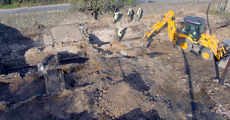
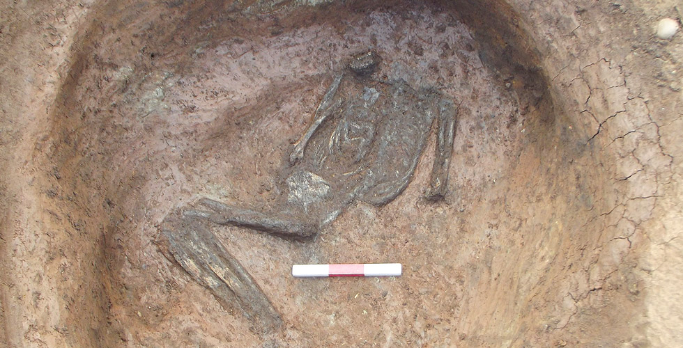
- Archaeological survey, including survey of earthworks, monuments and historic buildings.