Avoid site delays and cost by use of geophysics, boreholes and trial trenching
Developers and architects will be aware of the possible presence of potential archaeology on any new site. Properly managed, the risk of unexpected discoveries leading to additional costs and unwelcome delays can be very significantly reduced.
This brief introduction will give an initial overview of relevant archaeological
fieldworks services.
Geophysical survey
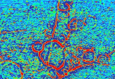
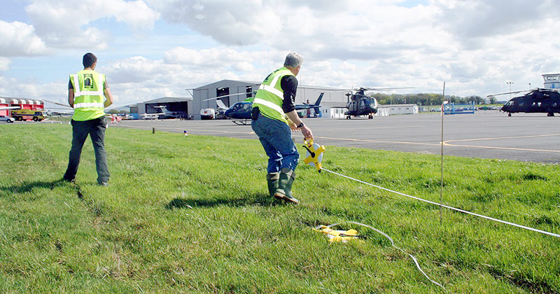
For a developer, geophysical survey is a relatively inexpensive and speedy method of establishing the presence of potential archaeological remains within a development site and serves to highlight potential risks to development at an early stage. This helps to inform a developer about possible time and cost implications.
More about geophysical survey »
Archaeological excavation
Prior to development commencing it is possible that archaeological excavation will be required by the local planning authority to discharge a planning condition. Work is often carried out in a wide variety of locations and situations including excavation within buildings or adjacent to live services, on linear developments such as pipeline corridors and on road schemes which have their own particular access and operational requirements.
More about archaeological excavation »
Trial trenching
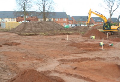
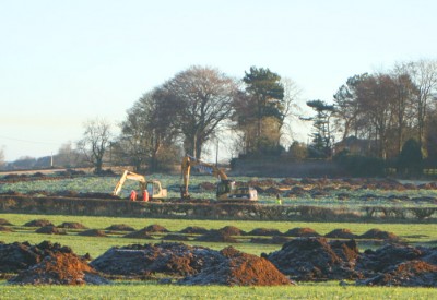
In urban contexts, trial trenching is often used to determine the presence of buried remains. Trial trenches are typically between ten to thirty metres long, two metres wide and any depth down to two or three metres.
It’s an intrusive method which removes the soil and overburden to determine whether there are any archaeological remains present and what their extent, significance and date may be.
Watching briefs
Many scenarios from home extensions to large housing developments could occur where archaeological monitoring of associated groundworks may be required as part of planning consent by the local planning authority.
Archaeological boreholes
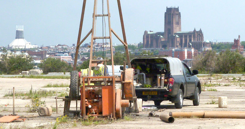
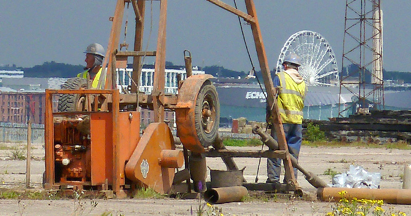
For development in urban contexts the benefits of this archaeological evaluative approach are substantial both in terms of cost and time savings. The drilling rigs are small (can fit through a domestic doorway), light weight, highly mobile tracked vehicles which allow access to confined and difficult to reach spaces with minimal impact. This is ideal for archaeological investigation on sites with restricted access, close-up against walls and inside buildings.
More about archaeological boreholes »
Topographic land surveys
Detailed metric topographic surveys are undertaken to provide accurate plans of boundaries, site detail and topography. Land survey solutions are undertaken for all aspects of urban and rural environments, using GIS and CAD integration.
More about topographic land surveys »
Historic landscape surveys
The simplest form of survey is a walkover survey, which will involve a specialist team visiting the development area and assessing the site for the presence of earthworks and buildings.
For larger areas and for areas where it is harder to locate sites, such as moors and parks, survey is undertaken with the addition of a survey-quality Global Positioning System, which can accurately plot sites to within a few centimetres. For complex earthwork systems, such as fields of ridge and furrow or deserted medieval villages a topographic survey of archaeological features may be carried out.
More about historic landscape surveys »
Historic building surveys
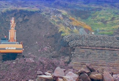
When a proposed development impacts on the fabric of a historic building or when a historic building may be removed by development, local planning authorities often require the developer to provide a detailed record of the building prior to its alteration or demolition.
More about historic building surveys »
Further information about archaeological fieldworks services
For further information regarding archaeological fieldworks services, please contact Helen Martin-Bacon.